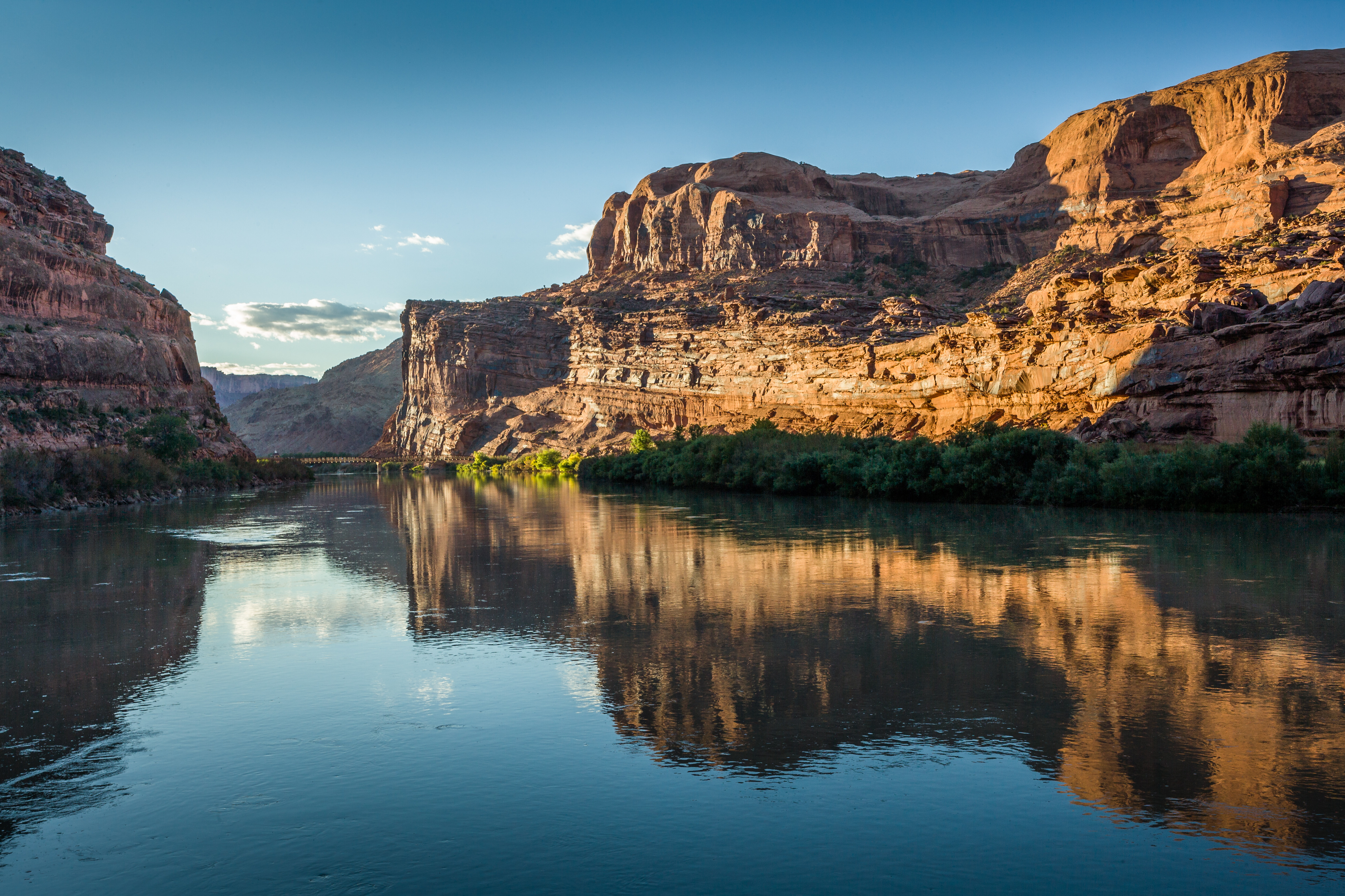
As one of the seven states that make up the Colorado River Basin, Utah takes an active interest in this critically important river that provides water to 40 million people and 5 million acres of farmland. For the past three years, the Utah Division of Water Resources has partnered with the other basin states to form a workgroup to support climate and hydrology studies and centralize them to help guide management and planning efforts for the Colorado River.
In recent decades, increasing water demand, dry conditions and warming temperatures have impacted the Colorado River. With support and guidance from more than a dozen federal, state and local water agencies, researchers from the University of Colorado Boulder’s Western Water Assessment teamed up with leading experts to integrate nearly 800 peer-reviewed studies, agency reports and other sources to assess the state of the science and the technical methods relevant to water resources in the Colorado River Basin.
“This is a significant collaborative effort that brought together stakeholders within the Colorado River Basin,” said Utah Division of Water Resources Deputy Director Candice Hasenyager. “The result is a comprehensive scientific report unlike any that has ever been produced about the Colorado River. Scientists present the latest research, data and tools available to help our understanding of past, current and future hydrologic conditions, which will guide planning and projections for the river.”
Colorado River Basin Climate and Hydrology: State of the Science aims to create a shared understanding of the physical setting and the latest data, tools and research underpinning the management of Colorado River water resources. In identifying both challenges and opportunities, the report will guide water resource managers and researchers in efforts to improve the short-term and mid-term forecasts and long-term projections for the basin’s water system. By serving as a common knowledge base, the report will help readers navigate the future of the Colorado River Basin, which supports the seven basin states (Arizona, California, Colorado, Nevada, New Mexico, Utah and Wyoming), 29 tribes and Mexico.
A high-level overview is included in the Executive Summary, which features key points, challenges and opportunities from each of the 11 chapters – or readers can dive into the full report for comprehensive supporting content.
The report sets the stage by focusing on the current understanding of climate and hydrology in the Colorado River Basin and provides an overview of the primary modeling tools used for basin planning. A thorough discussion follows of the latest available knowledge regarding weather, climate and hydrology observations, and the tools used to interpret these data. Forecasts, projections and the various methods used for producing them are also covered, including those relative to climate change and paleo-records.
Jeff Lukas and Elizabeth Payton from the University of Colorado Boulder served as lead authors and editors. Both are researchers from CIRES and CU Boulder’s Western Water Assessment program, a university-based applied research program that addresses societal vulnerabilities to climate variability and climate change, particularly those related to water resources.
Additional Background
Western Water Assessment Report Webpage
What’s Inside
Chapter 1: Introduction
Chapter 2: Current Understanding of the Colorado River Basin Climate and Hydrology
– How does the climate and hydrology of the basin vary over space and time, and what are the recent trends and their causes?
Chapter 3: Primary Planning Tools
– How do Reclamation’s operations and planning models translate the many data inputs into forecasts of reservoir levels and other system conditions?
Chapter 4: Observations—Weather and Climate
– How are climate datasets created from underlying weather observations, and how can they be best used?
Chapter 5: Observations—Hydrology
– What are the longstanding and emerging methods used to quantify snowpack, streamflow, and soil moisture in the basin, and how can these data be improved?
Chapter 6: Hydrologic Models
– How do hydrologic models—from simple to complex—contribute to our understanding and forecasting of streamflow, and how can these models be improved?
Chapter 7: Weather and Climate Forecasting
– What are the pathways to improving the relatively low skill of seasonal climate forecasts, and how can they be better put to use?
Chapter 8: Streamflow Forecasting
– Can the seasonal streamflow forecasts be made better by harnessing new data and new approaches?
Chapter 9: Historical Hydrology
– Given the recent and expected trends in climate and hydrology, how can we harness the historical hydrology record to project the future?
Chapter 10: Paleohydrology
– What do tree-ring reconstructions of streamflow tell us about the basin’s hydrologic variability over the past 1200 years, and how can that information be brought into long-term planning?
Chapter 11: Climate Change-Informed Hydrology
– What are the methods for projecting future basin hydrology using the output of global climate models, and what are the most robust findings from those projections to be brought forward into planning?
Editors and Lead Authors
Jeff Lukas, University of Colorado Boulder (CU Boulder), CIRES, Western Water Assessment (WWA)
Elizabeth Payton, CU Boulder, CIRES, WWA
Authors
Stephanie McAfee, University of Nevada Reno
Andy Wood, National Center for Atmospheric Research (NCAR) Research Applications Lab (RAL)
Connie Woodhouse, University of Arizona, Climate Assessment for the Southwest (CLIMAS)
Ben Harding, Lynker
Lineke Woelders, CU Boulder, CIRES, WWA
Rebecca Smith, Bureau of Reclamation, Lower Colorado Region
Ethan Gutmann, NCAR RAL
Flavio Lehner, NCAR Climate & Global Dynamics Lab (CGD) and ETH Zürich
Joseph Barsugli, CU Boulder, CIRES, WWA
Klaus Wolter, CU Boulder, CIRES
Imtiaz Rangwala, CU Boulder, CIRES, WWA and North Central Climate Adaptation Science Center
Benét Duncan, CU Boulder, CIRES, WWA
Jeff Deems, CU Boulder, CIRES, WWA and National Snow and Ice Data Center (NSIDC)
Carly Jerla, Bureau of Reclamation, Lower Colorado Region
James Prairie, Bureau of Reclamation, Upper Colorado Region
Thanks to Our Funders
Arizona Department of Water Resources
U.S. Bureau of Reclamation
California’s Six Agency Committee
Central Arizona Water Conservation District
Colorado River Water Conservation District
Colorado Water Conservation Board
Denver Water
Metropolitan Water District of Southern California
Southern Nevada Water Authority
Utah Division of Water Resources
Wyoming State Engineer’s Office
New Mexico Interstate Stream Commission
About the Division of Water Resources
The Utah Division of Water Resources is one of seven divisions housed under the Department of Natural Resources. Tasked with planning, conserving, developing and protecting Utah’s water resources, the Division of Water Resources serves as Utah’s water steward.
For more information, contact Kim Wells, public information officer, at 801.803.0336 or email kimwells@utah.gov.