The Division of Water Resources’ Technical Services section provides Geographic Information Systems (GIS) and Computer Aided Design (CAD) services to the division, our partners, and the public. Technical Services stewards several data sets such as Water-Related Land Use, Culinary Water Supplier Boundaries, and more. They also produce interactive map products, many of which are hosted on our Open Data website.
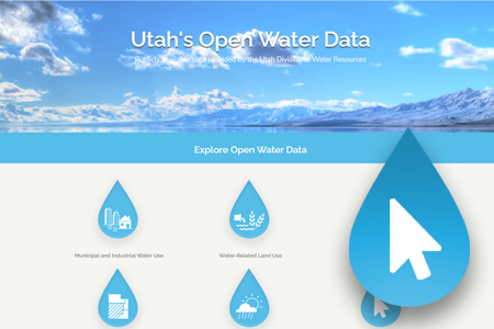
Water Resources is responsible for conducting investigations, completing studies, and writing plans to promote the responsible planning and management of water resources. To improve distribution of data generated by these studies, the Division launched an Open Water Data website to distribute spatially referenced data for public use. Visit this homepage to explore a variety of data products for planning and study of the state’s water supply.
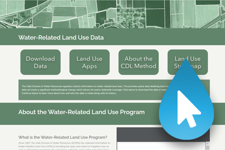
Water Resources collects geographic data pertinent to water-related land uses to support water resource planning objectives. The data produced by this program are used in various programs, including estimating irrigated acreage and improving regional water budget estimates. Since 2017, the division has updated its methodology to provide state-wide coverage on an annual basis. To learn more, visit the Water-Related Land Use homepage.
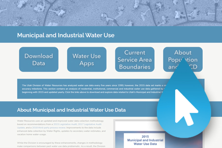
Since 2015, the Division of Water Resources has distributed an annual summary of Municipal and Industrial water use and supply for Community Water Systems throughout Utah. The data was gathered by our staff from Annual Water Use Forms submitted to the Division of Water Rights (DWRi) and from water system representatives. This information serves as a baseline for State Water Planning, conservation goals, and other reports and studies produced by the Division. To learn more about the updated and improved water data collection methodology, visit the M&I homepage.
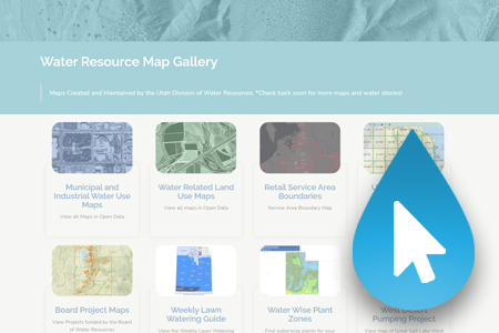
Water Resources has created a variety of Interactive Map Products to share relevant water-related spatial data and to highlight water resource planning and development efforts occurring throughout the state. Explore our Map Dashboard to find a variety of different dynamic mapping products.


