SLOW THE FLOW

Published July 2, 2026
SALT LAKE CITY (July 2, 2026) – With critical fire danger escalating across the state and drought conditions straining water supplies, officials are urging all residents to exercise extreme caution this holiday weekend. As fire activity intensifies, please recreate responsibly to help prevent new wildfire starts while crews manage ongoing incidents.
Read Full Article
Published June 11, 2026
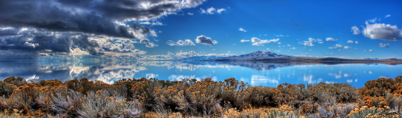
SALT LAKE CITY (June 11, 2026) – With June temperatures rising, Utah is facing a deepening drought that has accelerated the drying of soils and vegetation across the state. Wildfire season has already been active with over 230 fires so far this year, a majority of which were human-caused.
Read Full Article
Published May 28, 2026
Water conservation critical as Utah’s water supply faces a drier year SALT LAKE CITY (May 21, 2026) – Following the warmest winter on record and the lowest snowpack levels ever recorded in Utah, Gov. Spencer J. Cox issued an Executive Order today declaring a statewide state of emergency due to extreme drought conditions.
Read Full Article