Colorado River is critical to Utah’s water security
The Colorado River serves 40 million people in seven U.S. states and two states in Mexico. There are 30 federally recognized tribes in the Colorado River Basin. It is also used to irrigate 5.5 million agricultural acres of land.
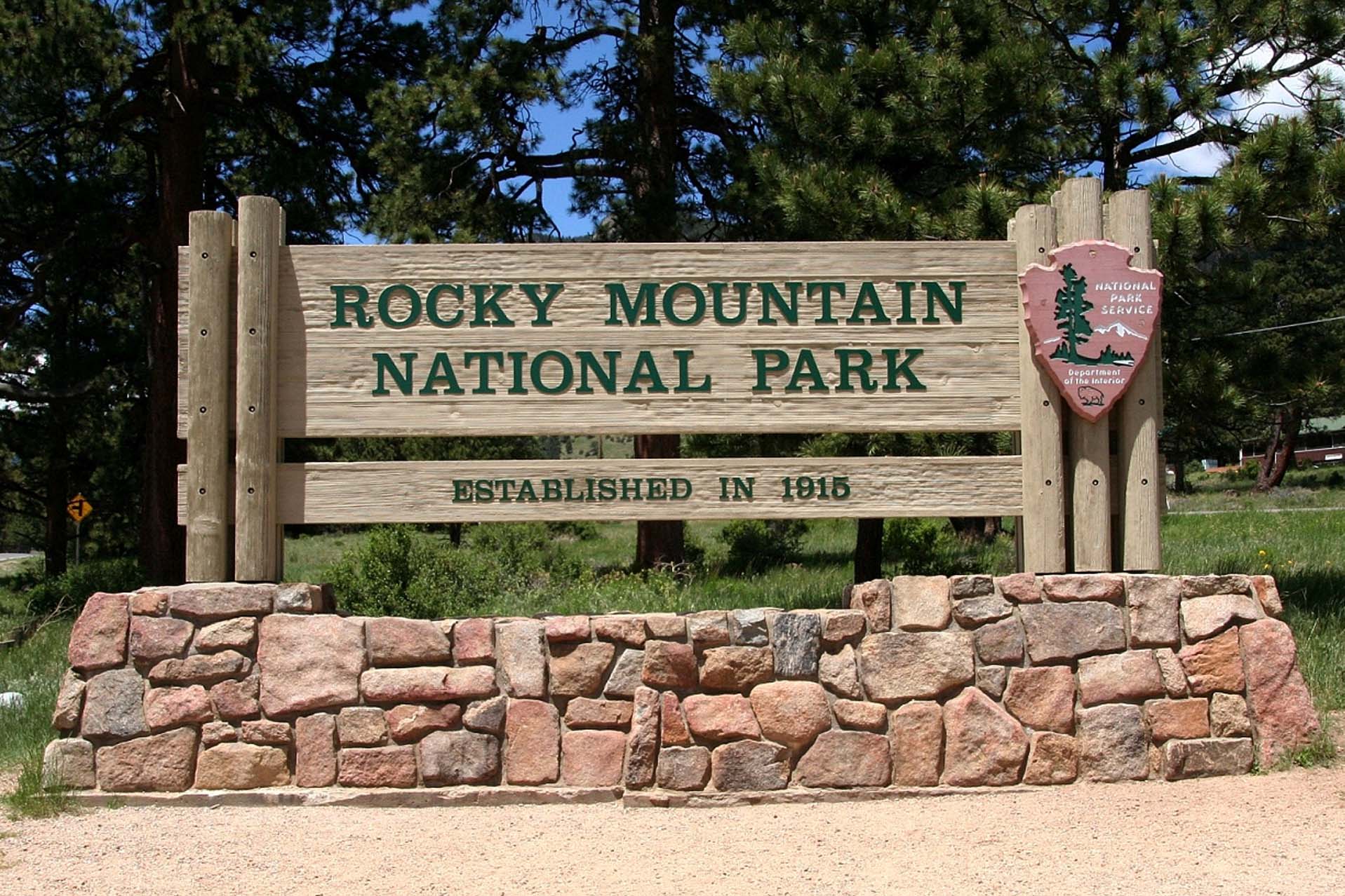
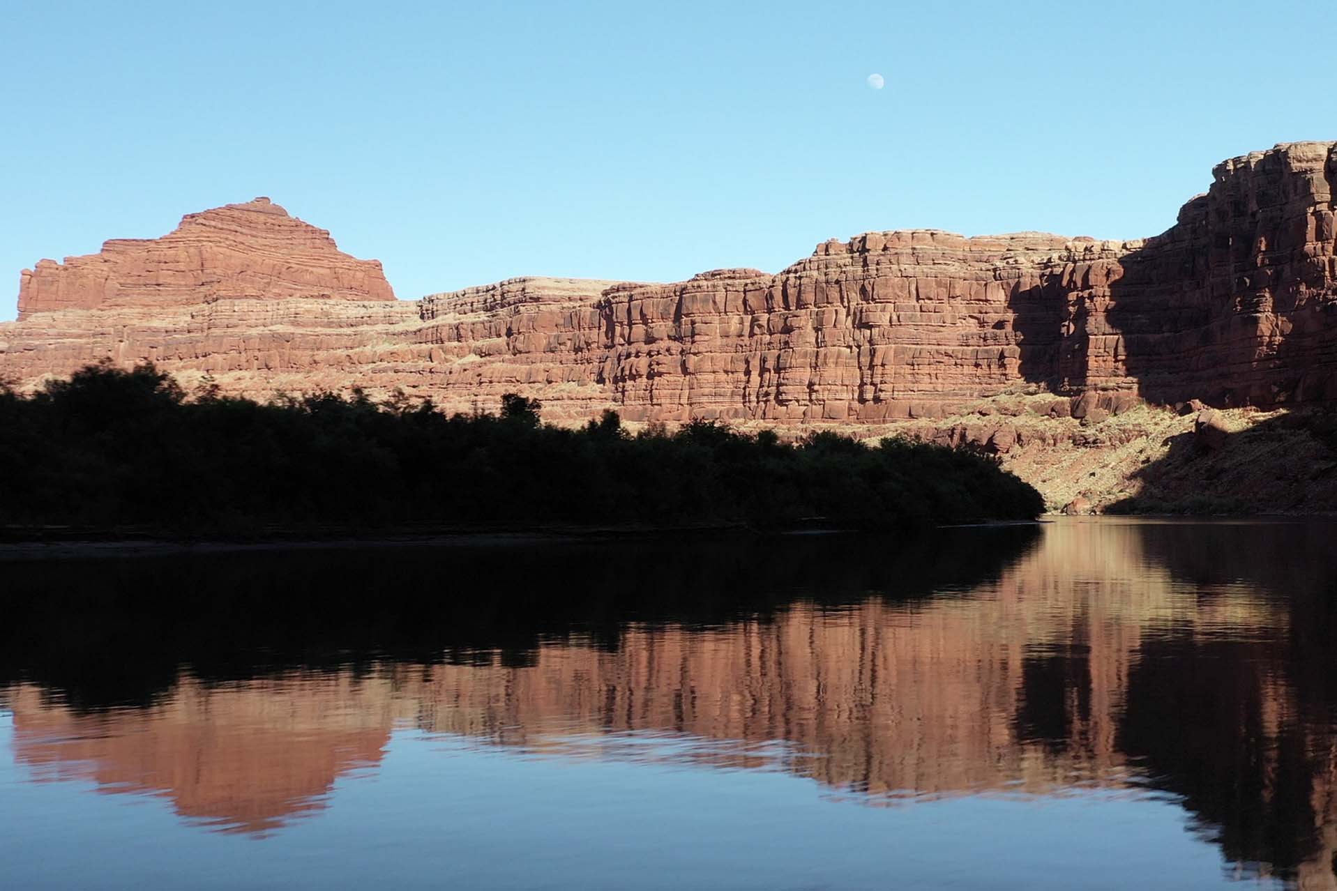
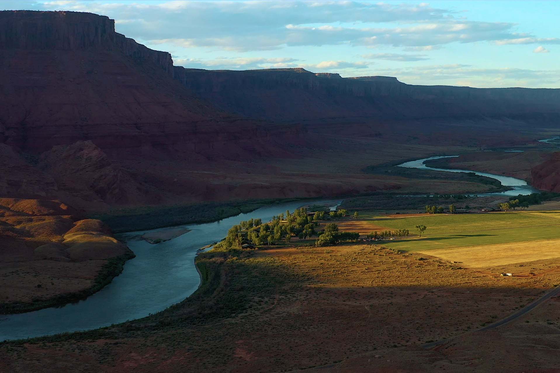
The Colorado River originates in Rocky Mountain National Park near Grand Lake, Colorado, and is 1,450-miles long. The river has a huge drainage basin that covers 244,000 square miles and ranks about sixth among the nation’s rivers in flow volume. The Colorado River sustains 30 endemic fish species and critical river habitats. There are four endangered or threatened fish species.

In 1922, Herbert Hoover (who later became president of the U.S.) and representatives from the seven basin states signed the Colorado River Compact, which allocates the amount of water that Arizona, California, Colorado, Nevada, New Mexico, Utah and Wyoming can legally use. Photo credit U.S. Bureau of Reclamation
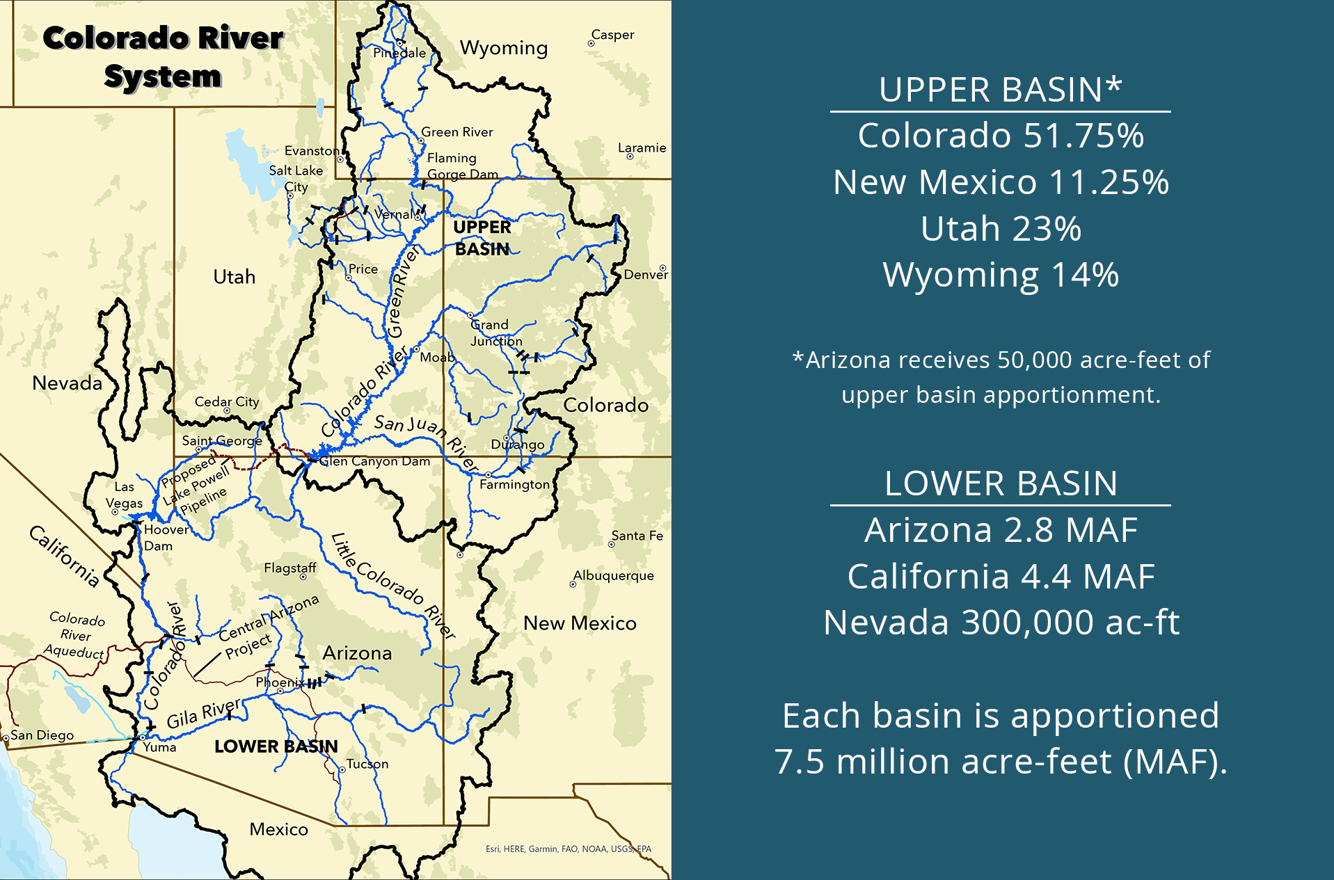
The compact divides the states into two basins: the Upper Basin (CO, NM, UT, WY) and the Lower Basin (AZ, CA, NV). Colorado River water is equitably shared between the basins.
Balancing river resources among the states and other interests is an ever-evolving process. In 1948, the Upper Colorado River Bain Compact created the Upper Colorado River Commission and apportioned the Upper Basin’s allocation proportionally among the four Upper Basin states. Colorado (51.75%), New Mexico (11.25%), Utah (23%) and Wyoming (14%). The portion of Arizona located in the Upper Basin receives 50,000 acre-feet from the Upper Basin allocation annually. Photo credit Centerstar
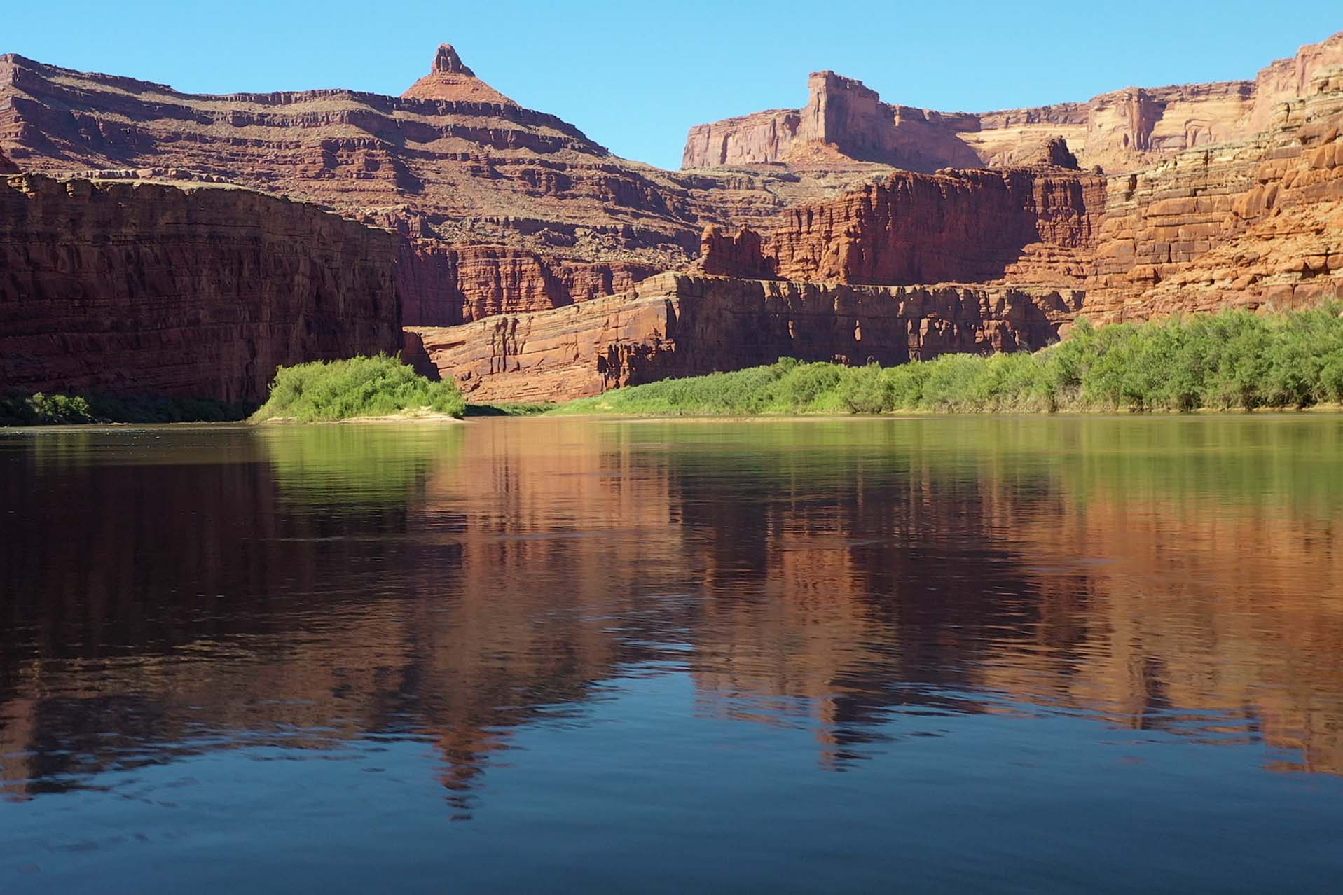
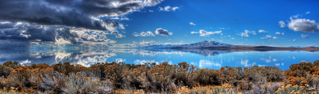
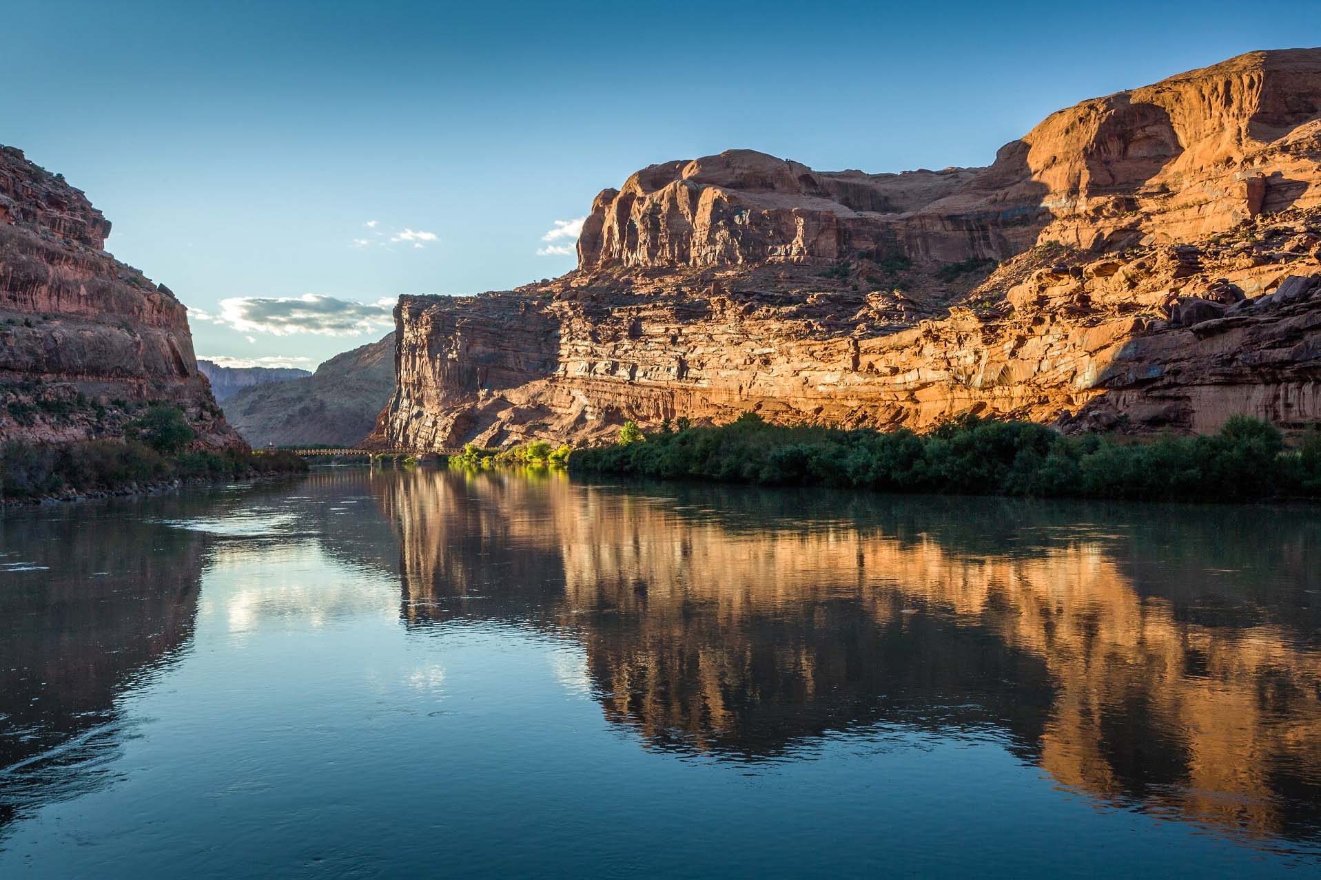
The Colorado River system includes the river, its tributaries and the country’s two largest reservoirs: Lake Mead and Lake Powell. These reservoirs act as “savings accounts” where water is stored. Photo credit Centerstar
Even during periods of drought, the Upper Basin states have met, and even exceeded, their obligation under the 1922 compact to “not cause the flow of the river at Lee Ferry to be depleted below an aggregate of 75 million acre-feet for any period of ten consecutive years.”
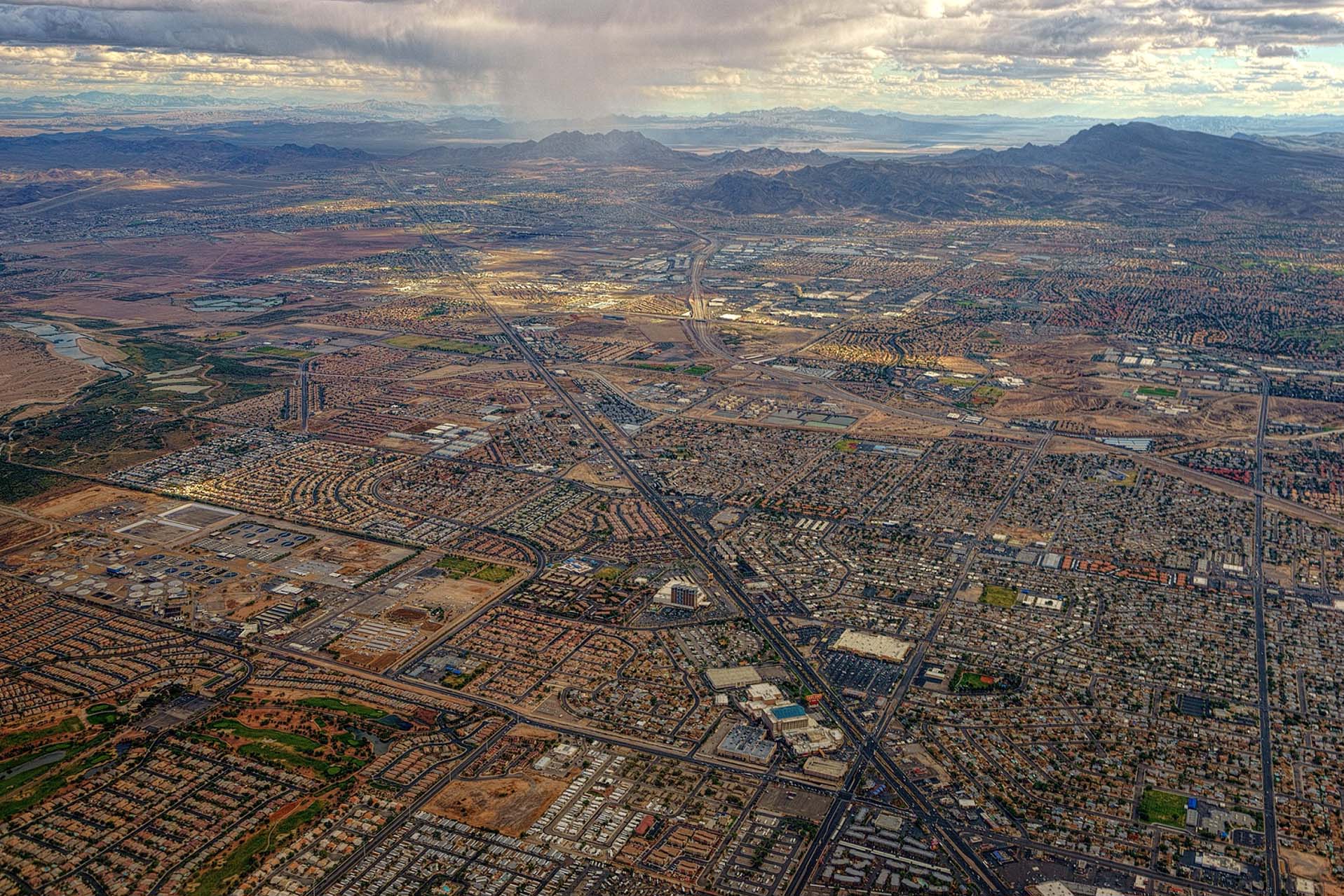
The Southwest continues to be the fastest-growing part of the nation, which is why Utah and the other basin states must work aggressively to conserve and stretch existing resources.
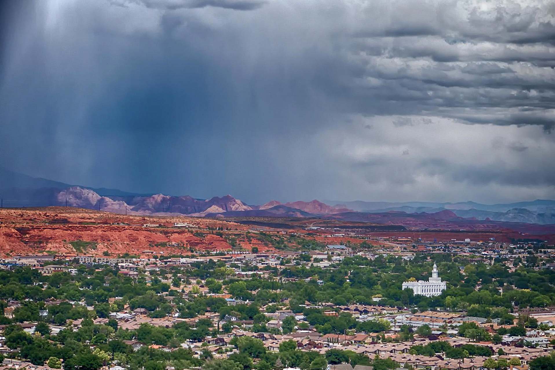
Much of that growth is projected to occur in southwestern Utah, specifically Washington County. (About 500,000 people by 2065; currently about 200,000.) Photo credit Washington County Water Conservancy District