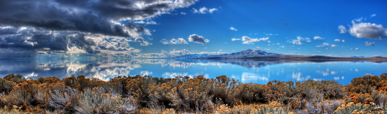
Great Salt Lake is the largest saline lake in the Western Hemisphere and the eighth largest in the world. The ecology of the lake is an extraordinary example of the rich web of relationships between people, land, water, food and survival. The various water environments, remote islands and shorelines, with Utah’s highest density of wetlands, provide habitat for plants, brine shrimp, reptiles, amphibians, mammals, shorebirds and waterfowl. Birds rely on the lake, a critical link in the Pacific Flyway between North and South America. Every year as many as 12 million birds from 339 different species come to rest, eat and breed during migrations of a thousand miles or more. With the decline of other lakes, Great Salt Lake is increasingly important to these species.
Preserve and protect
The Utah Department of Natural Resources is committed to preserving and protecting Great Salt Lake. The Division of Water Resources aids this goal by developing the Great Salt Lake Basin Integrated Plan, studying and modeling the lake and the river systems that feed it, administering water conservation programs and managing the state’s cloud seeding program. Check out this one-pager and brochure to learn more about the importance of Great Salt Lake, the role each agency plays in preserving it and actions underway.
Lake levels
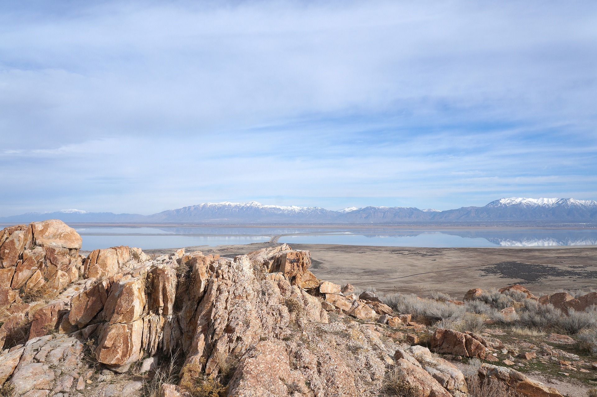
Due to its shallowness (an average of 14 feet deep and a maximum of 35 feet deep), the water level can fall dramatically during dry years and rise during wet years. When snowpack melts in the spring, the lake usually rises about 2 feet. However, record snowpack in 2023 triggered a rise of 5.5 feet! In 2022 and 2021, the elevation only went up about 1 foot because of the poor snowpack.
The lake’s shallow, warm waters cause frequent, sometimes heavy, lake-effect snowfall in the Wasatch Mountains. This contributes to snowpack (about 5-10%) and winter tourism. When the lake level is low, more lake bed is exposed, which can cause severe dust pollution. The dust carries heavy metals and chemicals into the air, which impacts air quality. At its historic average water level of 4,200 feet, the lake was approximately 75 miles long and 35 miles wide, covering 1,700 square miles.
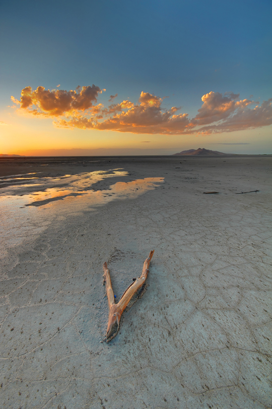
Record low lake levels
The average daily value of Great Salt Lake hit a new record low in November 2022, when it dropped to 4188.5 feet as measured at the South Arm Causeway gauge location. On October 18, 2021, the lake’s elevation had dropped to 4190.2, which was a new record low at that time. Prior to that, the previous record low was set in October 1963, with an elevation of 4191.35, rounded to 4191.4 to conform with data reporting formats of the time and a recorded size of 950 square miles. (In 1963, levels were measured to the hundredth. Today, they are measured to the tenth of a foot.) In 1986, the surface area was at the historic high of 3,300 square miles and an elevation of 4,211.65. (This figure includes areas that were inundated when the pumps were operational and the west desert flooded.) USGS keeps records of the lake dating back to 1847 when the pioneers first settled in Utah.
(Photo courtesy of Spencer Baugh)
Geography and infrastructure
The geography of the lake combined with infrastructure has created a diversity of lake environments varying from the extremely salty North Arm (almost 28%) to the less salty South Arm (fluctuating between 6 and 27%). The Lucin Cutoff is a railroad line that runs across the lake, crossing the southern end of the Promontory Peninsula. The mostly solid causeway supporting the railway divides the lake into three arms: the northeast, northwest, and southern. The causeway obstructs the normal mixing of the lake’s waters because no major streams flow directly into the northwest arm, making it substantially saltier than the rest of the lake. This saltier environment promotes different types of algae than those growing in the southern part of the lake, leading to a marked color difference on the two sides of the causeway.
Economic benefit
The Jordan, Weber, and Bear rivers flow into the lake and deposit a few million tons of dissolved solids (salts and minerals) in the lake each year. The economic output of Great Salt Lake is $1.9 billion annually, with a total employment of over 7,700 jobs. The industries that operate on the lake contribute significantly to the world supply of magnesium, sulfate of potash and brine shrimp. Mining companies extract nearly 2 million tons of minerals per year. Water is removed from diked ponds by evaporation. There are over 85,000 acres of diked evaporation ponds in Great Salt Lake – comprising an area twice that of San Francisco.
Additional resources
Lake, climate and environment
- GreatSaltLake.utah.gov – this site centralizes information from many agencies and organizations relating to the knowledge, management and preservation of the lake
- Drought.utah.gov – this site centralizes the latest information about water conditions in Utah, often including lake impacts
- Great Salt Lake Fact Sheet – an informative one-sheet created by the Great Salt Lake Advisory Council
- White Paper: Impacts of Water Development on Great Salt Lake and the Wasatch Front – a study by engineers and scientists at USU, SLCC, and the divisions of Water Resources and Wildlife Resources into how human consumption has affected lake levels
- Lake Bonneville – a resource from the Utah Geological Survey that tells the story of Lake Bonneville, Great Salt Lake’s prehistoric ancestor
- Great Salt Lake Hydro Mapper – a tool from USGS that provides real-time lake surface elevations, surface water inflows and salinity levels
- Great Salt Lake Environment – a resource from the University of Utah that explores the living and non-living factors that make Great Salt Lake unique
Partners and projects
- Great Salt Lake Management and Partners – an overview of the numerous partners who contribute to protecting and preserving the lake
- Visit Great Salt Lake – parks, preserves and museums that support Great Salt Lake’s future
- Great Salt Lake Integrated Model (GSLIM) – this model can be used to evaluate how changes in the watershed could impact water levels and salinity
- Great Salt Lake Enhancement Project – a report on and list of potential projects in the Great Salt Lake Basin that could improve habitat and/or water delivery
- White Paper, Impacts of Water Development on Great Salt Lake and the Wasatch Front – a study by engineers and scientists at USU, SLCC, and the divisions of Water Resources and Wildlife Resources into how human consumption has affected lake levels
- West Desert Pump Project – West Desert pumps were operational from April 10, 1987 to June 30, 1989, and helped protect homes, farms, I-80 and even the airport against flooding after Great Salt Lake rose approximately 12 vertical feet from 1982 to 1987