image shows the Wasatch Mountains with minimal snow, mostly in higher elevations

Utah Water Conditions Update March 2026

Published 03-19-26

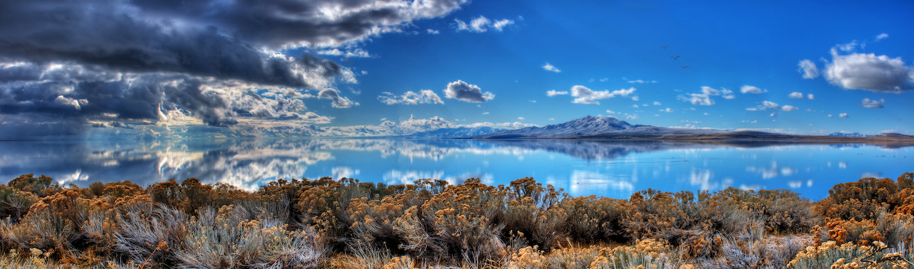
SALT LAKE CITY (March 19, 2026) – Utah’s snowpack is the lowest on record and peaked three weeks early. The state’s peak was on March 9 at 8.4 inches, which is about half of what the state typically receives by the beginning of April. Weather forecasts suggest that snowmelt will outpace any new snow the state might receive. 

(more…)
Image shows Echo Reservoir from a plan with snow on the mountains

Wings Over Weber ASO Project: A new era of snow measurement for the Great Salt Lake Basin 

Published 03-10-26

The Utah Division of Water Resources has partnered with Weber Basin Water Conservancy District and the Great Salt Lake Commissioner’s Office to expand and explore the use of Airborne Snow Observatories (ASO) technology in the Great Salt Lake Basin. This ASO project,  known as “Wings over Weber”, is the second of its kind in Utah and the first focused on a watershed within the GSL Basin. The project is funded, in part, by a grant from the Bureau of Reclamation.

(more…)
Image shows City Creek with snow on the sides of the creek.

Utah Water Conditions Update February 2026

Published 02-19-26

SALT LAKE CITY (Feb. 19, 2026) – Utah experienced a more active storm cycle near the end of February. While this is a welcome respite from the dry winter so far, the state would need the active pattern to persist through the beginning of April, when the state typically experiences peak snowpack, to achieve near-normal runoff in the spring. 

(more…)
Image shows the Jordan River with grass along the sides.

Utah Water Conditions Update January 2026

Published 01-22-26

SALT LAKE CITY (Jan. 22, 2026) – Utah’s lackluster snow season continues to be a concern. 95% of the state’s water supply comes from snowpack. Refilling reservoirs is less likely if the trend of dismal snowstorms continues. 2025 was the warmest year on record for Utah, according to the National Weather Service

(more…)
picture shows an image of a mountain range in Kamas. It shows a very small amount of snow on the mountains.

Utah Water Conditions Update December 2025

Published 12-18-25

SALT LAKE CITY (Dec. 18, 2025) – A warm and dry December and November have left the state with below-normal snow totals. While this is a reason for concern, two or three good storm cycles could bring the state up to normal levels. Utah’s snowpack typically peaks around the beginning of April. 

(more…)
graphic shows the Jordan River with trees along the banks changing to fall colors. The sky is overcast.

Utah Water Conditions Update October 2025

Published 10-21-25

SALT LAKE CITY (October 21, 2025) – The beginning of our Water Year, which began on Oct. 1, has delivered outstanding early-season precipitation. This historic moisture has profoundly improved water conditions and significantly boosted the outlook for our region’s water supply. 

(more…)
picture shows Great Salt Lake with Antelope Island in the background

Utah Water Conditions Update August 2025

Published 08-21-25

SALT LAKE CITY (August 21, 2025) – Utah’s reservoir levels are showing a drastic decline. Since June 1, the state has drawn down reservoirs at a rate more than double the normal rate. This is due to increased demand, lower-than-normal spring runoff and an extremely dry summer. 

(more…)
Picture shows a river with plants on the banks of the water

Water Conditions Update – July 22, 2025

Published 07-22-25

SALT LAKE CITY (July 22, 2025) – 100% of the state is in moderate to severe drought. On average, our reservoirs have dropped around 10% between June 1 and July 1. Typically, reservoirs drop around 2% during the same period. This is due to increased demand and an inefficient spring runoff earlier this year. 

(more…)