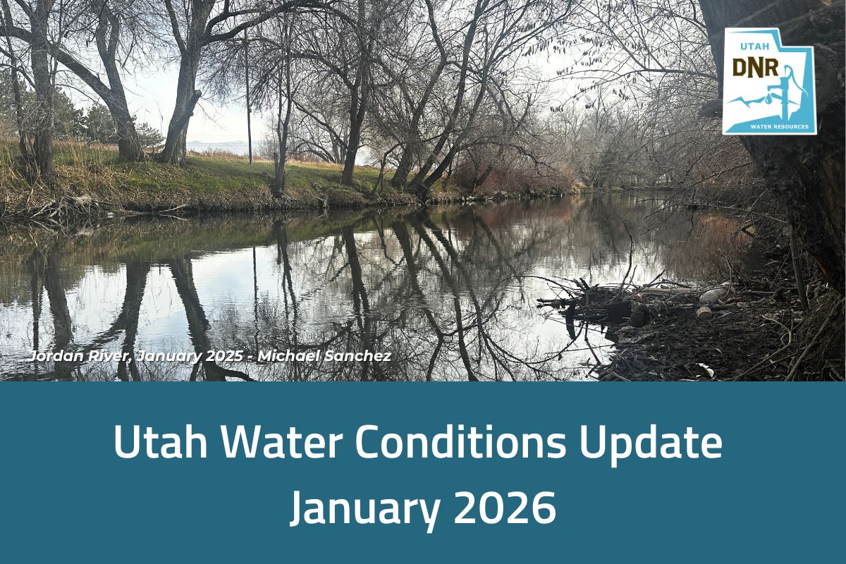

SALT LAKE CITY (Dec. 18, 2024) – Winter brings snow that blankets mountains, delights skiers and transforms the landscape into a frosty wonderland. Snowman building and skiing aside, we get about 95% of our water from snowpack. Enter SWE, or snow water equivalent — the superhero of snow measurements!
What is snow water equivalent (SWE)?
SWE is the amount of water contained in snow. Think of it like this: if you took a column of snow and melted it down, how much liquid water would you have? It’s measured in inches and helps us understand how much water is stored in a snowpack.
For example, a snowpack with 10 inches of snow and an SWE of 2 inches means that when melted, it’d produce 2 inches of water.

Why does SWE matter?
SWE is a big deal when it comes to water resources planning, and here’s why:
- Predicting water supply: Snowpack acts as a natural reservoir. As the snow melts in spring and summer, it feeds rivers, streams and reservoirs, providing water for drinking, irrigation and recreation. Knowing the SWE helps water managers plan how much water will be available for these uses.
- Flood management: Too much snowpack with a high SWE? That could mean big trouble if it melts too quickly. Tracking SWE helps predict potential floods and gives communities time to prepare.
- Drought planning: On the flip side, a low SWE can signal a dry year ahead. This information allows water agencies to plan for conservation measures and ensure there’s enough water to go around.
How do we use SWE here at the Division of Water Resources?
The Utah Division of Water Resources uses SWE data to support our mission to plan, conserve, protect and develop water resources. SWE data helps us understand, communicate and report snowpack conditions, which are critical for managing Utah’s water supply.
We use SWE data to:
- Calibrate water models, such as the Variable Infiltration Capacity model — a powerful tool for simulating how water moves through large watersheds
- Forecast Great Salt Lake elevations
- Inform decisions on cloud seeding operations
- Support planning efforts, such as estimating reservoir fill levels, determining start dates for dam construction projects and advising irrigation companies on water allocations for shareholders
How do we measure SWE?
SWE is measured using high-tech tools and a little elbow grease:
- Snow courses: Scientists trek into the snow with tools like a snow tube, weigh the snow and calculate its SWE.
- Automated stations (SNOTEL): These stations — owned and operated by our partners with USDA Natural Resources Conservation Service — measure snow depth and water content in real-time, providing continuous data. Curious about how it works? Watch this video we made.
- Geospatial technology: A plane flies in a lawn-mowing pattern, equipped with LiDAR, lasers directed at Earth, sending info about the snow depth so we can have more accurate measurements of snow water equivalent. We’re funding partners on this Airborne Snow Observatories, Inc. project within the Colorado River Basin and soon we’ll be heading a similar project to provide the same sort of data within the Great Salt Lake Basin.
SWE and you
Even if you’re not a hydrologist or water manager, SWE affects your daily life more than you might realize. It influences water bills, food prices (think crops!) and the availability of outdoor activities like fishing and kayaking.
So the next time you’re admiring a snow-capped mountain, remember that beautiful snow is more than just a pretty face. It’s a vital resource, and SWE is the key to unlocking its secrets!