SALT LAKE CITY (April 18, 2024) – As April unfolds, Utah’s water situation reflects a delicate balance between melting snowpack, reservoir management and rising temperatures. Recent data suggests that we most likely witnessed the peak of our snowpack, reaching 18.8 inches on April 2, surpassing the median peak snowpack of 16 inches.
“The timing and magnitude of our snowpack peak plays a crucial role in our water management strategies,” Candice Hasenyager, director of the Division of Water Resources, said. “We have all this snow still in the mountains, and we need to pay attention to how it melts.”
According to the Natural Resources Conservation Service’s April Water Supply Report, the state received 150% of its typical amount of snow water equivalent (SWE) for March. Utah received 156% of normal precipitation for the month, bringing the water-year-to-date value to 117% of normal, up an additional 6% from the end of February.
Stream gages contribute to this positive narrative, with 60% flowing normally to above-normal levels. This widespread positive trend enhances the resilience of Utah’s water systems. The extra volume has rivers and streams moving very fast and it can be treacherous – especially for children and pets.
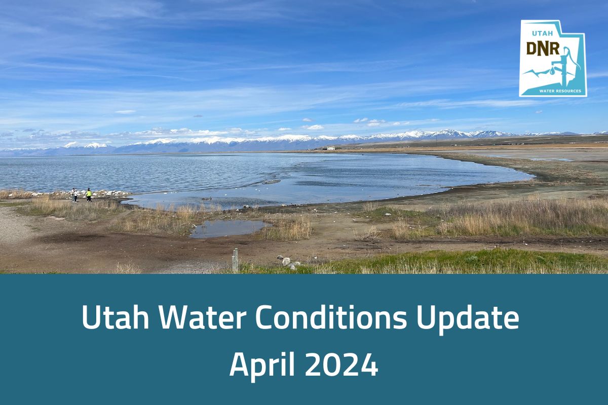
Great Salt Lake has seen a noteworthy net increase, rising around 2.5 feet since October. This positive change in lake levels adds to the actions and investments from the Legislature over the past three years to preserve and protect the lake. DNR actions, such as the modification of the GSL berm, as directed in the governor’s executive order, have reduced salinity and shown signs of benefiting the brine shrimp population in the south arm of the lake.
Rising temperatures, while beneficial for spring runoff, require careful monitoring. A balance must be maintained to avoid both flooding from rapid melting and inadequate water replenishment from slow melting.
Statewide, reservoirs are currently at an impressive 85%, showcasing solid water storage. This level is around 20% higher than normal and a drastic contrast to last year when reservoirs statewide were a little over half full. These figures reaffirm the strength and importance of our water storage and infrastructure. Many reservoirs across the state have released water ahead of spring runoff.
“Spring runoff is really where the magic happens for water supply,” Hasenyager said. “Knowing how much water to release and estimating how much water will make its way into the reservoir requires continual monitoring”
Continued vigilance and management remain essential as we navigate these dynamic conditions. Utah’s water resources rely on our ability to effectively respond to changing conditions and ensure the sustainability of our water supply.
In Utah, about 95% of our water supply comes from snowpack. Reservoirs and storage help us preserve that water for use in dry summer months and drought years. To encourage water conservation among Utahns, the Department of Natural Resources continues to promote initiatives such as the Agricultural Optimization Program for farmers and SlowtheFlow.org for residents. These programs aim to educate and incentivize water-saving practices, ensuring Utahns become more drought-resilient and prepare for future conditions.
# # #
For more information, contact Michael Sanchez, public information officer, at 385-226-8967 or email msanchez@utah.gov.


