
SALT LAKE CITY (June 27, 2024) – As of late June, most of Utah’s snowpack has melted. As we enter drier and hotter conditions, many streams and rivers are still running high, fast and cold – creating dangerous conditions. The state continues to stress caution around these water bodies.
“Our snowpack melting gradually has helped fill reservoirs and replenish our natural environment,” Candice Hasenyager, director of the Division of Water Resources, said. “For the most part, we have avoided flooding concerns while managing reservoirs optimally.”
According to the Natural Resources Conservation Service’s June Water Supply Report, statewide storage is at its highest level in at least 15 years, if not much longer. Multiple basins (Weber-Ogden, Tooele Valley, Duchesne, Provo, Price, Southeastern Utah, and Beaver watersheds) are at or close to their reservoir storage capacity.
Statewide, reservoirs are currently at an outstanding 92%. This level is around 20% higher than normal and 17% higher than this time last year.
“Our healthy reservoir storage reminds us it’s not about what we get, it’s about what we keep,” Hasenyager said. “Let’s optimize our water usage by checking out the Weekly Lawn Watering Guide or some of the rebates and incentives on UtahWaterSavers.com.”
Temperatures have been warmer than normal over the past 30 days. These higher temperatures have sped up the snowmelt and many streams are running high. Due to the snowmelt, cloud cover and other factors, evaporative demand, or how thirsty the air is for water, has been typical for this time of year.
88% of streams are flowing at normal to above-normal levels. This widespread positive trend enhances the resilience of Utah’s water systems. Fortunately, many streams have passed peak flow, the remaining sites have less than 10% of hitting flood stage. The extra volume has rivers and streams moving very fast, which can be treacherous—especially for children and pets.
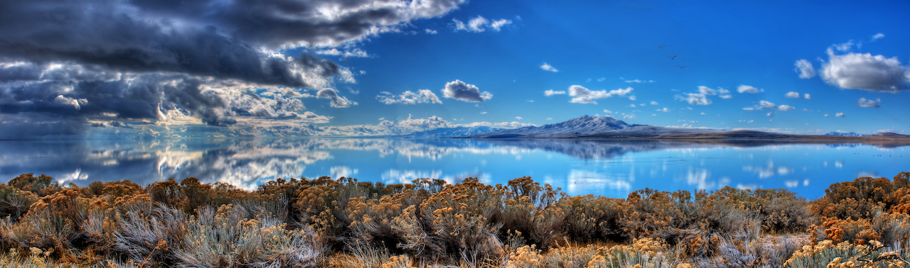
Great Salt Lake has seen a noteworthy net increase, rising around 6.5 feet since its historic low in November 2022. This positive change in lake levels adds to the actions and investments from the Legislature over the past three years to preserve and protect the lake. DNR actions, such as the modification of the GSL berm, as directed in the governor’s executive order, have reduced salinity and shown signs of benefiting the brine shrimp population in the south arm of the lake.
In Utah, about 95% of our water supply comes from snowpack. Reservoir storage helps us preserve that water for use in dry summer months and drought years. To encourage water conservation among Utahns, the Department of Natural Resources continues to promote initiatives such as the Agricultural Optimization Program for farmers and SlowtheFlow.org for residents. These programs aim to educate and incentivize water-saving practices, ensuring Utahns become more drought-resilient and prepare for future conditions.
# # #
For more information, contact Michael Sanchez, public information officer, at 385-226-8967 or email msanchez@utah.gov.