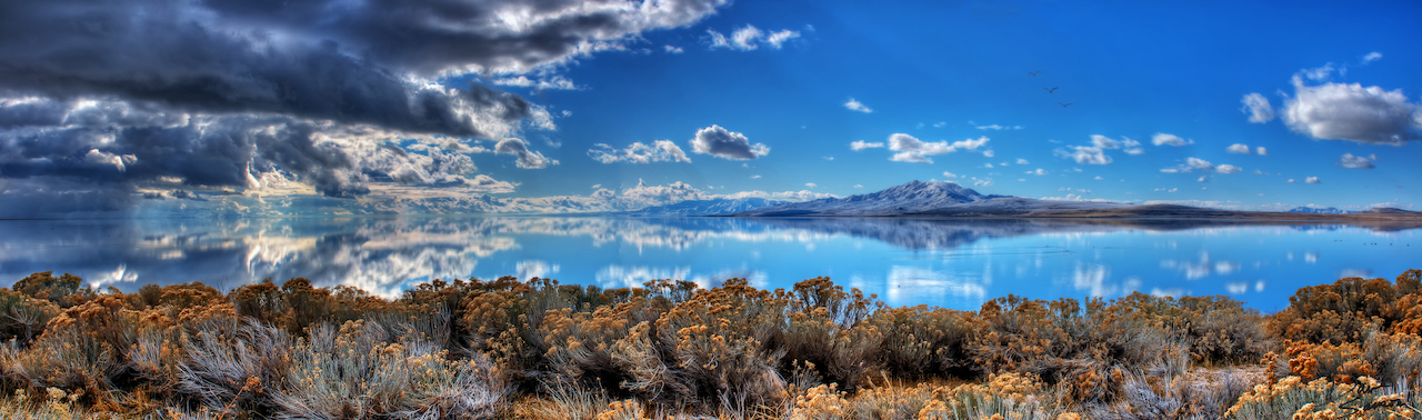
Drought is a deficiency of precipitation over an extended period of time that causes a water shortage. As part of the Division of Water Resources’ mission to plan, conserve, develop and protect Utah’s water resources, we monitor and plan for this naturally recurring event.
Drought is often called a creeping disaster. The start and end of a drought are often difficult to define. Because of this, the Division of Water Resources works with the Utah Climate Center, the Utah Department of Agriculture and Food, and federal partners to hold water condition webinars. These webinars are held at least monthly to assess water conditions regardless of whether drought conditions exist. The webinars have about 30 minutes of presented material on water conditions followed by an opportunity for attendees to comment on conditions they are experiencing where they live. Anyone is welcome to attend. To be added to the webinar invitation list email Drought@utah.gov.
Drought executive order
Gov. Spencer J. Cox issued an executive order on May 21, 2026 declaring a state of emergency statewide due to drought conditions.
Water Condition Webinars
Water condition webinars are held on a regular basis to collect feedback on weather conditions around the state. The webinars are hosted by a committee headed by the Division of Water Resources, the Utah Department of Agriculture and Food, and the Utah Climate Center. For more information on water condition webinars, email drought@utah.gov. Or, sign up below if you would like to receive notifications regarding upcoming webinars.
Webinar Schedule
The next webinar will be July 15, 2026 at 1 p.m. (Webinars are typically scheduled on Tuesdays and are usually held every two weeks.)
Past Utah Water Condition Webinar Presentations
Utah Water Condition Updates
In addition to these webinars, the divisions of Water Rights and Water Resources provide regular water condition updates for the state.
Community Collaborative Rain, Hail and Snow Network
You can also participate in the Community Collaborative Rain, Hail and Snow Network. This group is a unique, non-profit, community-based network of volunteers of all ages and backgrounds working together to measure and map precipitation. CoCoRaHS is run by the Utah Climate Center. For more information visit www.cocorahs.org
What Is Drought?
Drought is a normal and recurring climate feature. Although it occurs in virtually all of the world’s climatic zones, its characteristics vary significantly from one region to another. Consequently, there is no universal drought definition. In general, drought is a result of a deficiency of precipitation over an extended period of time, resulting in a water shortage, which impacts normal water usage. The severity of a drought depends upon the degree of moisture deficiency, its duration, and the size of the affected area. Because it is so hard to develop a quantitative definition for drought, it is difficult to determine precisely when a drought starts and ends.
In the United States, droughts are among the most financially burdensome of all weather-related disasters. In fact, in the 20 years preceding hurricane Katrina, the single largest U.S. weather-related disaster was the drought of 1988, which resulted in over $40 billion in damages throughout the central and northeastern portions of the country. Unlike impacts from floods, hurricanes, tornados or other weather-related disasters, drought impacts are not always immediate. Failed crops can impact food prices well into the future. Devastated domestic livestock and wildlife herds can also take many years to recover.
Managing Drought
Drought should not be viewed as merely a natural phenomenon or event. Its impact on society is often a result of the interplay between the natural event (reduced precipitation) and the way society responds with the management of existing supplies. People often compound the impacts of drought through the mismanagement of available supplies. One example of this occurs when outdoor watering restrictions imposed by community leadership are actually perceived by the general public as being premature or unnecessary. Often in these instances, while people comply with the letter of the law, water use actually rises. Consequently, an informed and caring general public is an important ingredient to successful drought management.
Utah’s successful drought management will in large part be a function of leadership providing the necessary information to the public, and people, in turn, responding positively. Utah’s current Drought Response plan was written during the drought of the late ’80s and early ’90s. The plan uses the Surface Water Supply Index (SWSI) to describes five drought conditions. The SWSI is a relative scale with 0 representing average conditions. A positive number indicates that water supplies are above normal, while a negative number indicates that water supplies are below normal.
The first condition, Normal to wet, is really a non-drought condition and the plan merely calls for the periodic updating of SWSI data and maps. When the SWSI moves into the 0 to -1.0 range, conditions are still considered normal, with water supplies only slightly below average. Although this is not a true drought condition it is called “Emerging Drought” in the plan, primarily because of the potential for worsening conditions. During this phase, the plan merely calls for increased monitoring of data. When the SWSI moves below -1.0, the condition is a Phase I Drought. At this point, the state’s Water Supply and Availability Committee is activated and begins to closely monitor water supply data and initiates the dissemination of information to the media and general public. When the SWSI moves below -2.0, it is a Phase II drought condition. At this time, a Drought Review and Reporting Committee and Drought task force are created with members of various state agencies to coordinate drought response actions and facilitate the timely dissemination of data and information. The Governor’s Proclamation of Drought Emergency, rather than a SWSI number, triggers drought Phase III. The Governor’s declaration of drought emergency is the initial and necessary step to make available many of the state and federal drought assistance programs.
Measuring Drought
The U.S. Drought Monitor is a broad-scale national drought map. It is updated weekly and communicates any unusually dry conditions with 4 drought categories (moderate, severe, extreme, and exceptional drought) and an “abnormally dry” category, indicating areas that may be moving into or out of drought. These categories correspond to percentiles of different data (exceptional 0-2, extreme 3-5, severe 5-10, moderate 11-20, abnormal dryness 21-30), with the lower percentile numbers meaning drier conditions.
Different data that account for precipitation over multiple time scales, streamflow, groundwater, soil moisture, and other meteorological and hydrological variables, are placed into percentiles for different locations. Often, the different data will not all indicate the same drought category for a particular location. The author of that week’s map looks at all of this information and assigns a category to an area based on what percentile range the different indicators and indices converge on.
Since the U.S. Drought Monitor map is intended to show the entire nation, local conditions may vary from the categories shown on the map. Here in Utah, we rely upon snowmelt runoff stored in reservoirs to get through the hot summer irrigation season. If enough snow falls in the mountains during the winter months, dry summer weather conditions can be somewhat overcome in many areas of the state. While the U.S. Drought Monitor is a useful tool with many applications, the Surface Water Supply Index (SWSI) is used to monitor drought status. The SWSI compares gauged streamflow and current reservoir storage with average streamflow and reservoir storage conditions. This comparison provides us with a more accurate assessment of our ability to deal with the drought situation indicated by the U.S. Drought Monitor map.
Additional Resources
- Drought.utah.gov
- Drought.gov
- Ready.gov
- NRCS Snow Survey
- Drought Response Plan
- State Hazard Mitigation Plan
- Utah’s Coordinated Water Action Plan
- USDA Drought Disaster Designations
- U.S. Drought Monitor
- Intermountain West Climate Dashboard
- United States Geological Survey
- National Integrated Drought Information Center
- Colorado River Basin Forecast Center
- Great Salt Lake Website
- Slow the Flow Website
- Conserve Water Website
